
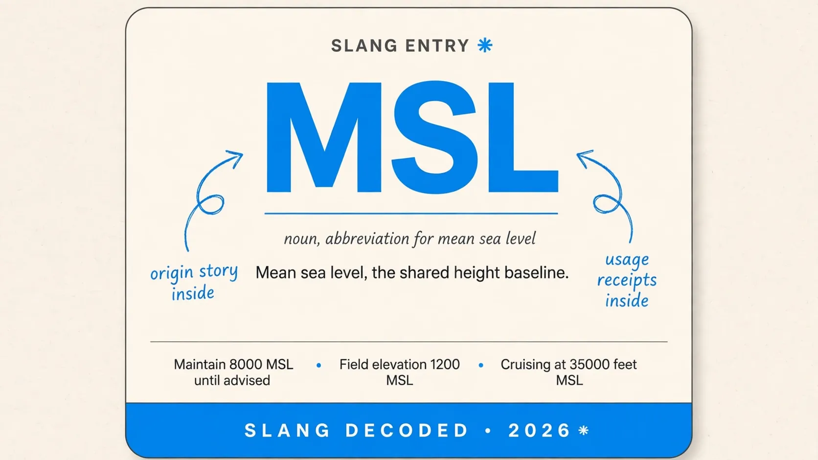
When you ask what does msl mean in altitude, the short answer is mean sea level, the height measured from the average surface of the oceans. You will see those three letters on charts, in flight apps, and in drone settings whenever height needs one shared starting point instead of the ground below you.
You do not need a pilot license to get it, and you do not need to memorize a formula. You just need to know what the number is measured from, why it stays steady when terrain changes, and when a different height number matters more.
What Does Msl Mean in Altitude When Pilots Say It on the Radio
Pilots say MSL when they want every listener to picture the same zero line. That zero line is not the runway or the hilltop, it is an averaged ocean surface that lets a pilot in Denver and a pilot over Miami talk about height in the same language.
| Situation | What MSL tells you |
|---|---|
| A pilot reports 10000 feet MSL | Height above the averaged ocean surface |
| A controller assigns 5000 feet MSL | A shared height layer for all traffic |
| A chart shows terrain at 6500 feet MSL | Ground height above the averaged ocean surface |
| An airport lists elevation at 5431 feet MSL | Runway height above the averaged ocean surface |
| A drone app shows 1200 feet MSL | Height from sea level, not takeoff ground |
| A weather report gives cloud tops in MSL | Cloud height on the shared baseline |
| A flight plan lists a cruise level in MSL | A height comparable across all terrain |
| A mountain peak is marked 14000 feet MSL | Summit height measured from sea level |
How the Sea Level Baseline Got Averaged Over 19 Years
The baseline did not come from one calm day at one beach. Tide watchers measured the ocean again and again, through storms and still mornings, until the ups and downs evened out into one steady average.
| Step | Detail |
|---|---|
| Tide gauges record hourly heights | Coastal gauges track water through each tidal cycle |
| Measurements run for 19 years | That span covers shifts in the moon orbit |
| Seasonal swings get smoothed out | Summer and winter patterns blend into one average |
| Local datums get set from the average | Each country fixes its own coastal reference point |
| Early English records used Liverpool | Victoria Dock served as an early measuring spot |
| Later English records moved to Newlyn | The Newlyn datum became the lasting British reference |
| Surveyors extend the datum inland | Triangulation carries sea level height from the coast |
| Modern models add satellite data | Satellite altimetry checks the surface across wide oceans |
Msl Against Agl in One Quick Side by Side
MSL and AGL answer two different questions, and mixing them up is where most confusion starts. MSL asks how high you are above the sea, while AGL asks how high you are above the dirt directly under you right now.
| Feature | MSL | AGL |
|---|---|---|
| Zero point | Averaged ocean surface | Ground directly below |
| Over mountains | Stays steady at held altitude | Shrinks as terrain rises |
| Over valleys | Stays steady at held altitude | Grows as terrain drops |
| Main use in cruise | Keeps aircraft separated | Less useful far above ground |
| Main use near landing | Matches charted airport elevation | Judges clearance and flare height |
| On sectional charts | Terrain and obstacle tops | Obstacle height in parentheses |
| On a standard altimeter | Pressure altimeter reads MSL | Radar altimeter reads AGL |
| Drone rule in the United States | Airspace floors often use MSL | The 400 foot limit uses AGL |
Where You Will Spot Msl Numbers in Real Flying Life
You do not have to hunt for MSL, because it pops up where height has to be exact. Flight students meet it in ground school, drone flyers meet it in app settings, and sim players meet it on instrument panels.
“Maintain 8000 MSL until advised”
Seen on a training flight radio exchange Context note, the controller gives a shared height layer, not height above local hills
“Field elevation 1200 MSL, altimeter 2992”
Seen on an airport information broadcast before takeoff Context note, the pilot sets the altimeter to match the known runway height
“Tower top 345 above ground, 456 MSL”
Seen on a sectional chart note beside an obstruction symbol Context note, the two numbers together reveal terrain and obstacle height
“Cruising at 35000 feet MSL over the plains”
Seen on a flight tracking readout shared by a passenger Context note, the number stays meaningful as ground below keeps changing
“Your drone is at 2100 feet MSL, terrain is 1700 feet MSL”
Seen on a drone app telemetry screen in hilly country Context note, the gap between them is the real clearance above ground
“Cloud bases reported at 3000 feet MSL”
Seen on a weather briefing for a morning departure Context note, the briefing uses the shared baseline for every pilot
“Minimum safe altitude 9500 feet MSL on this route”
Seen on a route planning page for a mountain crossing Context note, the route floor clears the tallest terrain plus a margin
“We leveled at 6000 MSL and the ride smoothed out”
Seen on a student pilot debrief after a bumpy lesson Context note, the student describes a held altitude, not distance from ground
The Altimeter Settings That Turn Pressure into Msl Height
Your altimeter does not measure height with a tape measure. It measures air pressure and turns that pressure into a height reading, and the setting you dial in tells it which sea level pressure to use.
| Setting | What it does |
|---|---|
| Local altimeter setting | Uses nearby sea level pressure for true MSL |
| QNH in metric regions | Gives sea level pressure in hectopascals |
| Standard setting 2992 | Fixed pressure so all high aircraft share one reference |
| Standard setting 1013 | Metric twin of the standard setting above transition |
| Flight levels above transition | Altitudes become levels like FL350 for separation |
| Temperature effect in cold air | True height sits lower than the dial shows |
| Temperature effect in warm air | True height sits higher than the dial shows |
| Resetting after landing | Check the dial against known field elevation |
Places and Jobs That Lean on Msl Every Day
Aviation gets most of the attention, but MSL shows up anywhere a height needs to travel across a map without confusion. Surveyors, sailors, hikers, and weather watchers all lean on the same averaged ocean line.
| User | How MSL shows up |
|---|---|
| Airline pilots | Cruise and approach heights are charted in MSL |
| Air traffic controllers | Separation is managed with MSL layers |
| Drone operators | Airspace floors are understood in MSL |
| Flight simulator players | Panels and charts copy real MSL readouts |
| Mountain hikers | Summit heights list elevation above mean sea level |
| Surveyors and mapmakers | Contour lines tie to a sea level datum |
| Meteorologists | Cloud heights reference sea level |
| Sailors and chart readers | Chart datums connect depth and height to sea level |
Times People Mix Msl up and What Happens Next
The classic mixup is simple, and it is easy to forgive, because both numbers sound like height and both use feet. The trouble starts when you act on the wrong one near terrain, so the slips below are worth learning once.
“Descend to 3000, that should put us nicely above the field”
Seen on a training discussion about a high elevation airport Context note, the field sits above 5000 MSL, so 3000 MSL sits below the runway
“My drone says 400 feet, so I am legal anywhere”
Seen on a drone forum thread about flying in the mountains Context note, the app may show MSL while the rule limit uses AGL
“The tower is only 345 feet tall, so we can fly at 500”
Seen on a sectional chart study session Context note, the tower top sits at 456 MSL, so ground height still counts
“AGL never changes, it is just like MSL”
Seen on a beginner ground school chat Context note, AGL changes with hills and valleys while MSL holds steady
“Sea level is the same everywhere, so datums do not matter”
Seen on a mapping discussion about local reference points Context note, local datums differ by meters because gravity and coastlines vary
“My GPS height and my altimeter always agree”
Seen on a cockpit comparison during a cross country flight Context note, GPS height uses a different earth model, so small gaps are normal
“Clouds at 1000 feet means 1000 feet above me”
Seen on a weather briefing question from a new flyer Context note, cloud heights are often AGL while route floors are MSL
“I can hold AGL in cruise and stay separated”
Seen on a forum debate about altitude choices Context note, controllers separate traffic by MSL layers, not local ground height
Related Altitude Words That Sit Next to Msl
MSL never travels alone, and the words around it explain why pilots switch between systems. Each term fixes one job, and together they cover the gap between the ocean, the ground, and the aircraft.
| Term | Meaning |
|---|---|
| AMSL | Above mean sea level, the spelled out MSL height |
| AGL | Above ground level, height above terrain below |
| MSL | Mean sea level, the averaged ocean baseline |
| Elevation | Height of ground or runway above mean sea level |
| True altitude | Actual height above mean sea level after correction |
| Indicated altitude | Height shown on the altimeter before correction |
| Pressure altitude | Height read at standard pressure setting |
| Flight level | Pressure altitude in hundreds of feet at high altitude |
Why Msl Feels Steady While the Ground Keeps Moving
You can hold one MSL number for miles while the world below you rises into hills and drops into valleys. That steadiness is the whole point, because it gives every pilot, controller, and chart reader one unmoving layer to aim for.
Think of MSL as the ruler taped to the side of the planet, while AGL is a tape measure dropped straight down from your feet. The ruler never moves, so two aircraft on the same MSL layer stay separated even over uneven land.
How to Read an Msl Number without Second Guessing It
Start by asking what the number is counted from, and check whether the source says MSL, AGL, or nothing at all. Charts spell it out through context, because terrain and airport numbers default to MSL unless parentheses signal AGL.
In this same batch of online shorthand, msl sits beside mw and mms as terms people look up when a short code stops them mid scroll. You do not need to learn all three at once, and you do not need to treat MSL like slang at all, because it is a working aviation code with a fixed meaning.
What Msl Can and Cannot Tell You About Safety
MSL tells you where you sit in the shared vertical map, and that map keeps you clear of charted terrain and other traffic when you follow it. It does not tell you how close the next hilltop is, because that gap needs terrain elevation subtracted from your MSL height.
Use MSL for planning, for talking to controllers, and for matching charts to your altimeter. Switch to AGL when you need clearance over a ridge, a tower, or a runway threshold, and use your eyes and instruments together on final approach.
FAQ
What does MSL stand for in altitude?
MSL stands for mean sea level, the averaged ocean surface used as the zero line for altitude.
Is MSL the same as height above the ground?
No, MSL measures height above sea level while height above the ground is called AGL.
Why do pilots use MSL instead of AGL in cruise?
Pilots use MSL in cruise because it stays steady over changing terrain and keeps traffic separated.
How is mean sea level actually calculated?
Mean sea level is calculated from long term tide gauge averages, traditionally over 19 years.
Do drone pilots need to know MSL too?
Yes, drone pilots need MSL to understand airspace floors and manned aircraft heights near them.