
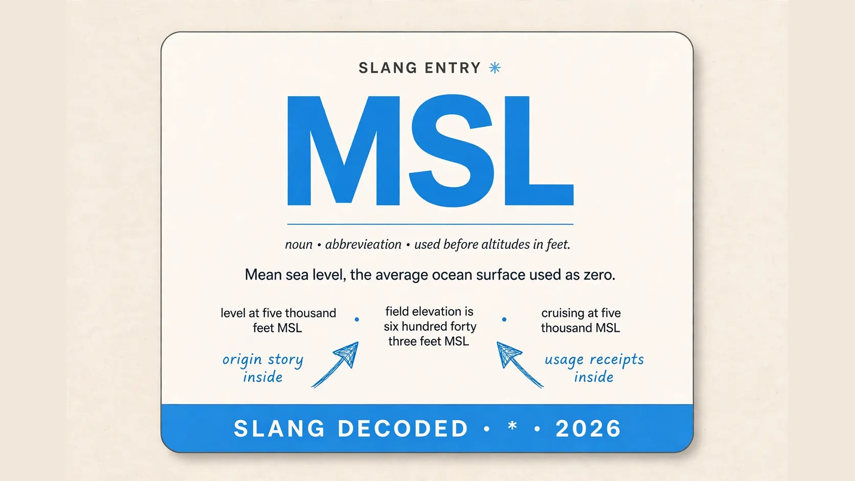
When you ask what does msl mean in aviation, the short answer is mean sea level. It is the average height of the ocean surface used as the zero line for altitude. Think of it as a shared starting line that stays put while the ground below rises and falls.
That shared line matters because pilots, controllers, and charts all need the same reference. If everyone measured from a different hilltop, the same flight could look high to one person and low to another. MSL gives you one steady baseline for the whole sky.
The Quick Answer to What Does Msl Mean in Aviation
| Idea | What it means for you |
|---|---|
| MSL | Mean sea level, the average ocean surface |
| Altitude in MSL | How high you are above that average surface |
| Zero line | A fixed reference, not the ground right under you |
| Why it helps | Every pilot and controller uses the same number |
| Where it shows up | Altimeters, charts, weather reports, and ATC calls |
| What it is not | Height above the ground below you |
| Common mix up | Confusing MSL with AGL, or above ground level |
| Simple test | If the ground changes, your MSL can stay the same |
| Best memory trick | Sea level stays level, ground level does not |
How Pilots Read an Msl Number on a Normal Flight
| Flight moment | How the MSL number works |
|---|---|
| Before takeoff | The airport elevation is an MSL number |
| On climb out | The altimeter climbs toward the cleared MSL altitude |
| In level cruise | The pilot holds a steady MSL altitude |
| Over mountains | MSL stays steady even as terrain rises |
| Over a valley | MSL stays steady even as terrain drops |
| On approach | The pilot works down toward airport elevation |
| At touchdown | The altimeter should read near field elevation |
| In a weather report | Cloud heights and ceilings often use MSL too |
| In a controller call | A cleared altitude is normally in MSL terms |
Msl Beside Agl in One Glance
| Question you might ask | MSL answer | AGL answer |
|---|---|---|
| What is the reference | Average ocean surface | Ground directly below you |
| Does it change over hills | No, it stays fixed | Yes, it rises and falls |
| Is it good for charts | Yes, charts use it widely | Less useful for wide area charts |
| Is it good for obstacles | Yes, with terrain elevation | Yes, for clearance below you |
| What does the altimeter show | Normally an MSL reading | A radar altimeter can show it |
| Who uses it most | Pilots, ATC, and chart makers | Pilots near the ground |
| What happens in a valley | MSL stays level | AGL grows larger |
| What happens over a peak | MSL stays level | AGL shrinks fast |
| Which one can trick you | Forgetting terrain elevation | Forgetting fast terrain changes |
Where You Will Spot Msl in the Cockpit and on Charts
“We are level at five thousand feet MSL over the ridge”
Where it appeared – a pilot forum debrief Context note – the pilot used MSL for level flight over changing terrain
“Field elevation is six hundred forty three feet MSL, set your altimeter before takeoff”
Where it appeared – a student pilot checklist online Context note – the number is what the altimeter should read on the ground
“Tower, we are crossing midfield at eight hundred feet, confirm MSL or AGL”
Where it appeared – a NASA safety report on a crossing mix up Context note – the pilot asked because the two numbers mean different heights
“Sectional charts show terrain and airport heights in MSL”
Where it appeared – a sectional chart explainer Context note – chart readers read every elevation against sea level first
“Cruising at ten thousand feet MSL feels smooth even when the ground drops away”
Where it appeared – a general aviation blog post Context note – the writer used MSL to stress level flight is not about the ground
“Your drone limit is four hundred feet AGL, so check the MSL of your launch site”
Where it appeared – a drone rules guide Context note – drone pilots must convert ground height to sea level height
“Ceilings are reported in AGL, but most other heights in the report use MSL”
Where it appeared – an aviation weather explainer Context note – this split is a classic exam trap
“MSL is what your altimeter shows when it is set to a nearby station pressure”
Where it appeared – a pilot forum thread Context note – pressure and temperature shift the reading
“That tower is three hundred forty five feet tall and four hundred fifty six feet MSL”
Where it appeared – a sectional chart guide Context note – the pair shows both tower height and sea level height
The Tide Gauge Story Behind the Sea Level Line
| Step in the story | What happened in plain terms |
|---|---|
| Sailors need a zero | Early map makers needed one trusted height |
| Tides go up and down | One tide reading cannot serve as a fixed zero |
| Gauges record over time | Tide gauges track the ocean for hours |
| A long average emerges | Years of readings smooth out storms |
| Nineteen year average | Aviation guides describe a nineteen year average |
| One datum is chosen | That average becomes a datum for maps |
| Maps adopt the datum | Terrain heights are measured from that datum |
| Aviation adopts the datum | Pilots and charts use the same reference |
| Local versions differ | Countries may use slightly different local datums |
Mistakes That Happen When Msl and Agl Get Swapped
“I crossed at eight hundred feet, but I meant MSL and tower meant AGL”
Where it appeared – a NASA safety report on a midfield crossing Context note – the mix up turned a routine crossing into a violation
“I thought the mountain was far below me because my AGL looked large”
Where it appeared – a mountain flying safety discussion Context note – AGL over a valley can hide the next peak
“My drone showed a high MSL, so I assumed I was legal and safe”
Where it appeared – a drone pilot forum thread Context note – the limit was in AGL, so MSL alone did not prove compliance
“We briefed a ceiling in MSL and then flew into cloud sooner than planned”
Where it appeared – an aviation weather lesson Context note – this split needed a conversion
“The chart tower looked low in AGL, but its MSL top was right in our path”
Where it appeared – a sectional chart exercise Context note – readers check both numbers on obstruction symbols
“I set the altimeter wrong and my MSL reading drifted from the real height”
Where it appeared – a student pilot debrief Context note – a wrong pressure setting makes MSL read wrong
“Skydivers, check AGL at the drop zone, not just jump altitude in MSL”
Where it appeared – a skydiving safety explainer Context note – drop zone ground may sit well above sea level
“Our route looked flat on the chart until we added terrain elevation in MSL”
Where it appeared – a flight planning tutorial Context note – flat MSL cruise can still pass over high terrain
“Cold air made our true height lower than the altimeter MSL reading”
Where it appeared – a cold temperature altimeter lesson Context note – temperature error shows instruments need judgment too
Msl Numbers You Hear Again and Again
| Number you may hear | What it usually points to |
|---|---|
| Field elevation in feet MSL | Airport height above mean sea level |
| Five thousand feet MSL | A common cruise or practice altitude |
| Ten thousand feet MSL | Level cruise over changing terrain |
| Eighteen thousand feet MSL | Near flight level airspace in the United States |
| Four hundred feet AGL | The common drone limit, not MSL |
| One thousand two hundred feet AGL | A common lower edge for controlled airspace |
| Fourteen thousand feet MSL | A high peak height on a map |
| Six hundred forty three feet MSL | An example field elevation in training |
| Zero feet MSL | Sea level itself, the baseline number |
Other Meanings of Msl That Are Not Aviation
| Field where it appears | What MSL means there |
|---|---|
| Medicine | Medical Science Liaison, a drug maker and clinician link |
| Anatomy | Midsternal line, down the middle of the chest |
| Geography | Mean sea level, the ocean baseline used on maps |
| Marine navigation | Mean sea level, the chart datum |
| Environmental science | Mean sea level, a sea level change baseline |
| Gaming and tech talk | Various project names reusing the letters |
| School systems | Sometimes a learning platform, usually LMS |
| Casual texting | No stable slang meaning, so context rules |
| Aviation slang online | Almost always mean sea level, not a joke |
Why a Fixed Sea Level Line Makes Flying Safer
You get a calmer cockpit when the gauge number does not jump with every hill below you. That steadiness lets you focus on traffic, weather, and the next turn. It also lets a distant controller picture your height without knowing the hill under you.
The payoff grows when many aircraft share the same sky. If two pilots use the same baseline, their altitude gap means the same thing to both. That shared math keeps vertical separation honest, even over flat land or mountains.
How to Say It Back without Sounding Lost
Keep it simple in a radio call or study group by saying the number and then the letters. Try cruising at five thousand MSL, and you will sound sure of your baseline. If you are unsure whether a number is MSL or AGL, ask first, because a quick question beats a wrong altitude.
If you are building a small slang shelf at home, you can file msl next to mw and mms and come back to each one when you need it. That habit helps you spot which short forms are technical, which are casual, and which change meaning by room. You will also notice faster when a term needs a second look.
When Msl Stops Being the Number That Matters Most
Low flying flips the priority, because the ground below you becomes the urgent fact. A pilot on final approach cares less about sea level and more about trees, towers, and runway height. That is why radar altimeters, visual cues, and AGL thinking take over near the ground.
Weather reporting flips the script in a smaller way too. Cloud ceilings are often given in AGL, so a high sounding ceiling can feel much lower after conversion. Always check which system a report uses before you picture the sky.
FAQ
What does msl mean in aviation in one sentence?
It means mean sea level, the average ocean surface used as the zero line for altitude.
Is MSL the same as height above the ground?
No, height above the ground is AGL, while MSL is height above mean sea level.
Why do pilots use MSL instead of just looking down?
MSL gives every pilot and controller the same fixed baseline, even over changing terrain.
Do drone pilots need to know MSL too?
Yes, because drone limits use AGL, so you need local MSL to convert correctly.
Can MSL change from place to place?
Yes, local sea level datums can differ slightly, but aviation charts keep the reference clear.